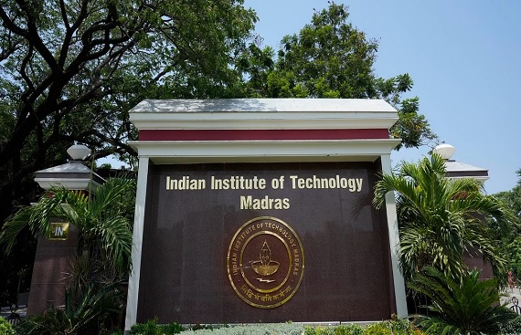
IIT Madras Unveils 'Sanjaya' Location Intelligence Tool in Haryana
By
siliconindia | Monday, 22 January 2024, 11:54 IST

The Centre of Excellence for Road Safety (CoERS) at the Indian Institute of Technology Madras (IIT Madras) has introduced a novel location intelligence platform named 'Sanjaya' in Haryana. This platform aims to assist road-owning agencies, law enforcement, emergency care providers, and various stakeholders in road safety by providing a visual representation of high-frequency accident zones. It will enable these entities to plan and implement targeted interventions in Haryana.
Sanjaya serves as a unified platform for stakeholders to visualize both existing crash black spots and emerging ones, facilitating the identification of necessary interventions and their specific locations. Furthermore, the platform offers tools for kilometer analysis, corridor analysis, cluster analysis, and point radius analysis, accompanied by visual representations such as heat maps and trend patterns.
Commending this IIT Madras initiative, Sanjeev Kaushal IAS, Chief Secretary, Government of Haryana, said, “Sanjaya is an important tool designed to provide nuanced insights and targeted strategies towards making roads safer. We will also direct our attention to the regions that are witnessing higher crash rates and Sanjaya will help find out those critical hotspots".
India currently has the highest number of road crashes and fatalities in the world. Crash data from 2022 published by the Union Ministry of Road Transport and Highways (MoRTH) attributes that nearly 60 percent of fatalities took place on 5 percent of the roads (National and State Highways) in India.
The age group spanning 18 to 60 constitutes 83.4 percent of the overall road crash fatalities in the nation, leading to profound emotional and psychological repercussions for families and society. Additionally, this has substantial socioeconomic implications for the country. The platform conducts map-based analyses of blackspots and emerging blackspots nationwide, categorized by the jurisdictions of States, Districts, and Police boundaries. Infographics and visual displays are employed to enhance comprehension of crash patterns within a specified region.
Elaborating on the platform, Professor Venkatesh Balasubramanian, Head, CoERS and RBG Labs, Department of Engineering Design, IIT Madras, who is coordinating this initiative, said, “Planning target-specific interventions to mitigate road traffic accidents is important to reduce road accident fatalities. Any intervention must be based on data so that we not only identify the problems on the road but also implement changes that are viable in the long term".
